
VHR satellite imagery, AI and field data to help restore grasslands that sustain Uganda's iconic wildlife
Partners: Uganda Wildlife Authority (UWA), Uganda Conservation Foundation (UCF) and Airbus Foundation
Key Species: African lion, Hippo, African elephant, Uganda kob, buffalo, leopard
Key Ecosystems: Savanna grasslands
2026 Award Winner
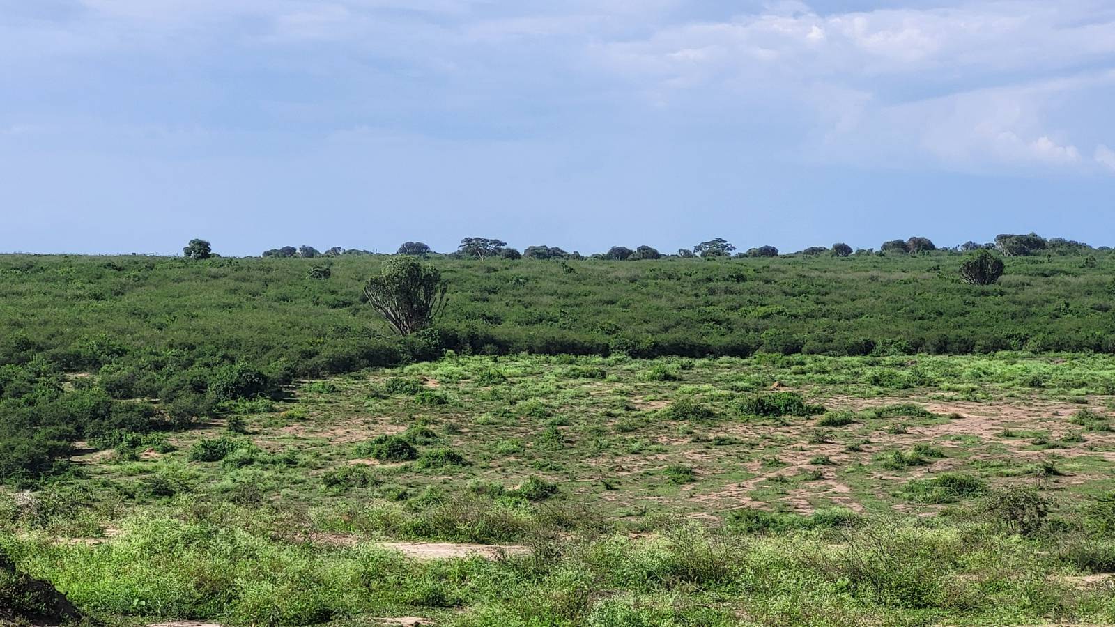
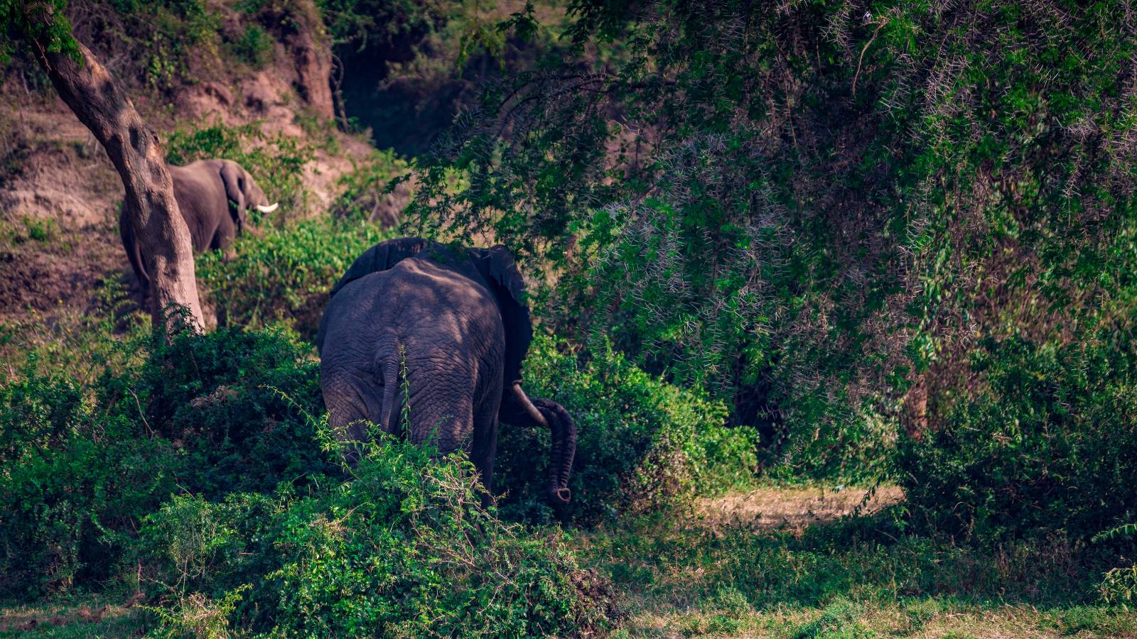
Home to famous tree-climbing lions, elephants, hippos and vast herds of buffalo, Queen Elizabeth National Park (QENP) is one of East Africa’s most celebrated wildlife landscapes. Located within Uganda’s Albertine Rift, the park’s mosaic of savanna, grassland, wetland and river ecosystems supports exceptional biodiversity, while providing ecosystem services that sustain local livelihoods and contribute to regional climate resilience.
Bringing back Uganda's Grasslands
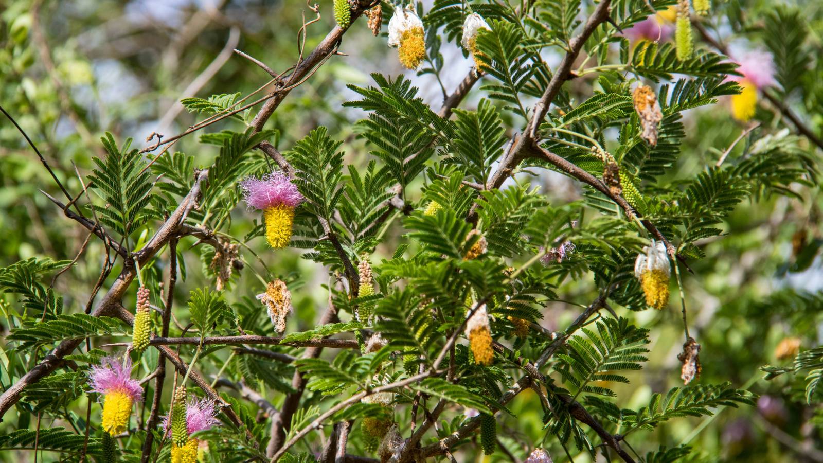
Despite its protected status, QENP faces growing ecological pressures. Over recent decades, large areas of the park have become dominated by invasive plant species, including sicklebush (Dichrostachys cinerea), cogon grass (Imperata cylindrica) and carrot weed (Parthenium hysterophorus).
These species crowd out native grasses, reducing the quality of habitat available for wildlife and livestock alike. As healthy grasslands and habitats disappear, animals are forced into smaller areas in search of food and water, increasing pressure on ecosystems and raising the risk of conflict between people and wildlife. The consequences are already being felt. Key species, including lions and hippos, have declined in some parts of the park as habitats become less productive, increasing human-wildlife conflict (HWC) as animals move outside the park. Restoring healthy grasslands, wetlands and wildlife corridors is essential if wildlife and local communities are to thrive together.
Watching a changing landscape from space
Invasive plants can spread quickly, wetlands can dry out and wildlife movement patterns can shift long before these changes become obvious on the ground. To address this challenge, the Uganda Wildlife Authority (UWA) and Uganda Conservation Foundation (UCF) are developing a new restoration monitoring system that combines Airbus Foundation Pléiades Neo satellite imagery, artificial intelligence, aerial surveys and community-led field monitoring. The initiative is supported by funding and technical expertise from the Connected Conservation Foundation.
"This grant support provides extraordinary technology and capacity to help manage the restoration of an iconic landscape and critically important wildlife populations that invasive species have heavily impacted," - Michael Keigwin, Founder, Uganda Conservation Foundation
Connecting space with conservation on the ground
Using high-resolution (30 cm) satellite imagery, advanced datasets and analytics will be integrated with wildlife tracking, drone imagery and structured field monitoring by trained community teams to understand ecosystem dynamics better. All monitoring data will be integrated into UWA’s EarthRanger platform. To track invasive species spread, monitor habitat recovery, identify fire impacts, assess wetland conditions and evaluate whether wildlife corridors remain connected across a priority restoration landscape, ensuring that conservation and investment decisions are guided by up-to-date ecological evidence.
Creating resilient ecosystems for communities
By combining cutting-edge technology with local stewardship, the project will help restore one of East Africa's most important wildlife landscapes while creating a model that could be applied in protected areas across the continent, contributing to global biodiversity goals, including the Global Biodiversity Framework’s 30×30 targets.