
Data-driven restoration where sea once stood
Partners: UN Sustainable Development Solutions Network (SDSN), Nirvana Carbon Foundation and Airbus Foundation
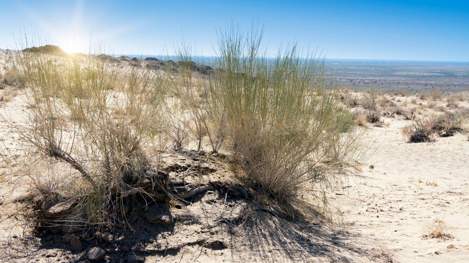
Key Species: Black Saxaul, White Saxaul, Saiga antelope, marbled polecat, corsac fox, greater flamingo, Asian Houbara
Key Ecosystems: Restored deserts
2026 Award Winner
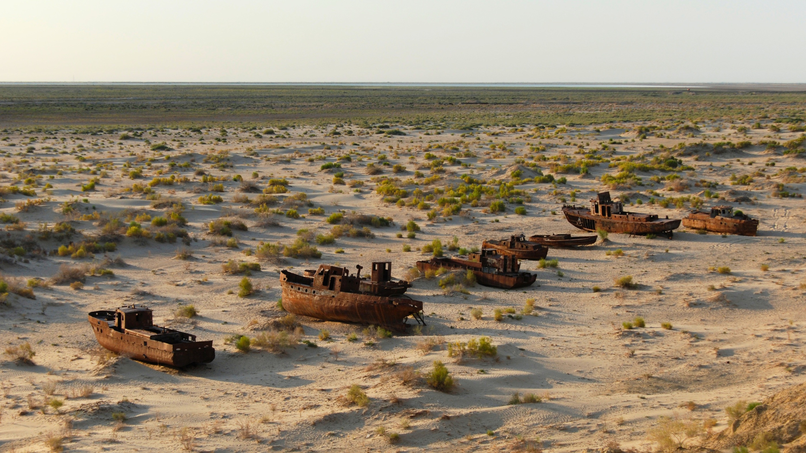
Just a few decades ago, fishing boats crossed the waters of the Aral Sea, once the world's fourth-largest inland lake. Today, many of those boats sit stranded in the sand, surrounded by a vast desert that did not exist a generation ago.
Once one of the most productive inland water bodies on Earth, the Aral Sea has become one of the world's most severe human-made environmental disasters. As the sea disappeared, it left behind the Aralkum Desert, a barren landscape that now generates toxic dust storms sweeping salt and pollutants across Central Asia, affecting ecosystems, agriculture and millions of people.
An ambitious desert restoration
Restoring a landscape of this scale is an immense challenge. Spanning Kazakhstan and Uzbekistan, the exposed Aral Sea bed covers thousands of square kilometres, making it one of the largest ecological restoration efforts in the world.
To support restoration across the region, two implementation partners - The UN Sustainable Development Solutions Network (SDSN) and the Nirvana Carbon Foundation - are leading complementary initiatives in each country, addressing one of the planet’s most severely degraded landscapes. By combining very high-resolution satellite imagery donated by the Airbus Foundation, artificial intelligence and local ecological expertise, they will map, monitor, and verify restoration activities across both countries. Technical and GIS support will also be provided by the Connected Conservation Foundation.
1. SDSN: Monitoring Saxaul Restoration in Uzbekistan’s Aralkum
The UN Sustainable Development Solutions Network (SDSN) is developing a monitoring system to detect individual saxaul shrubs across the exposed Aral seabed in Uzbekistan. Using satellite imagery and AI, the project will track shrub survival and growth, identify areas affected by shifting sands and grazing and measure how restoration efforts are helping to reduce sand and dust storms.
“The sub-metre resolution of Pléiades imagery gives us an unprecedented ability to monitor saxaul restoration across the Aralkum. By tracking individual shrubs and restoration outcomes at scale, we can generate the evidence needed to guide investment, inform policy and measure progress in one of the world’s most degraded landscapes," — Guilherme Iablonovski, Geospatial Data Specialist, UN Sustainable Development Solutions Network.
2. Nirvana Carbon Foundation: Scaling Afforestation in Kazakhstan
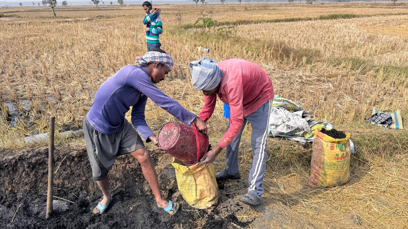
The Nirvana Carbon Foundation is developing a large-scale afforestation program targeting up to 200,000 hectares of degraded land in Kazakhstan. Local communities will play an important role in growing seedlings, collecting field data and restoring degraded landscapes. The initiative aims to rebuild ecosystems while creating new opportunities through restoration jobs, community nurseries and long-term stewardship of recovering land. Satellite imagery and AI will help identify areas with the greatest restoration potential, while field observations will provide essential information on local conditions and project outcomes.
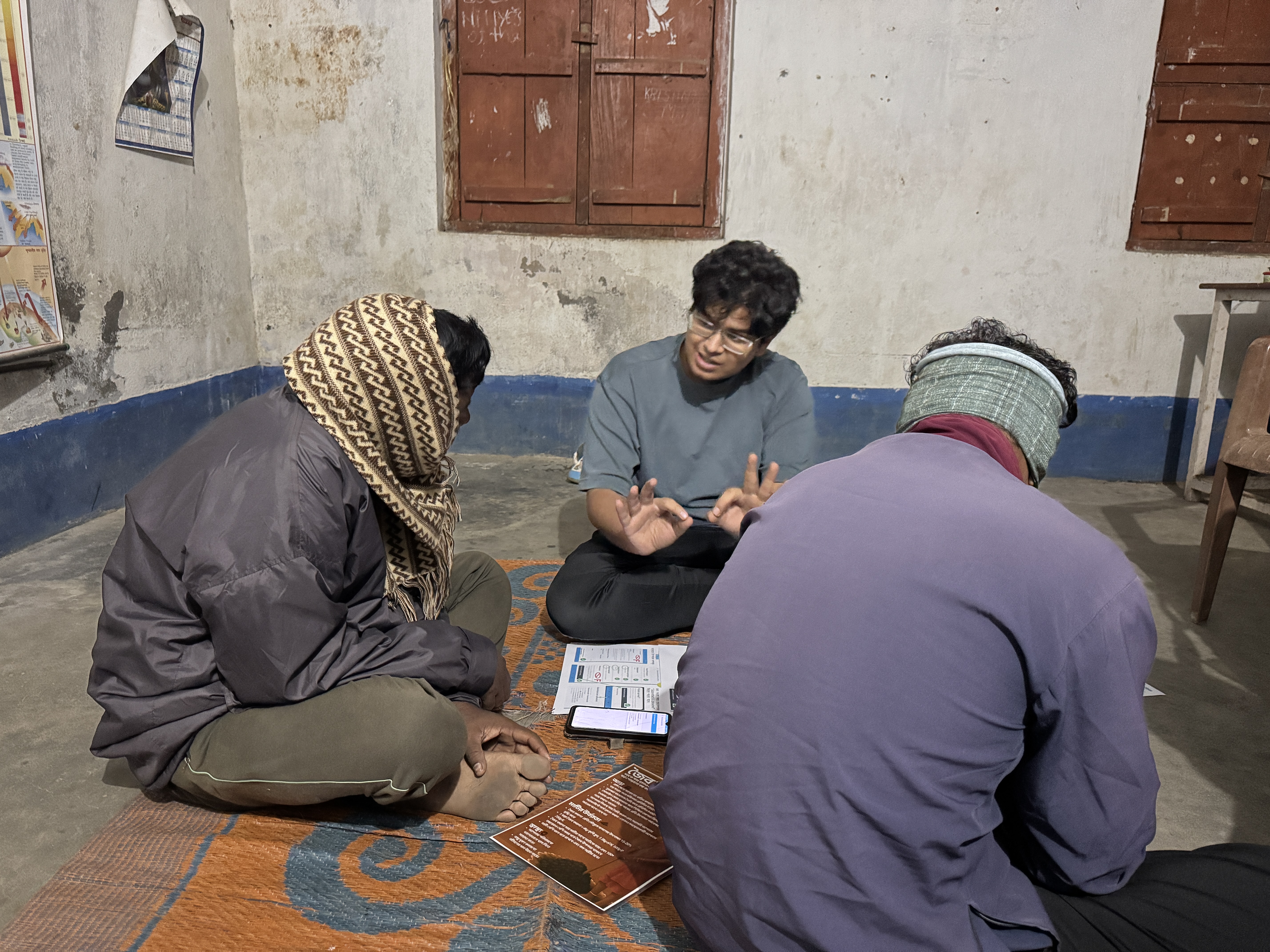
“We're honoured that CCF and The Airbus Foundation recognises the scientific rigour and global ambition behind what we're building. Across our projects in India and Kazakhstan, biochar production from agricultural residue and afforestation initiatives keeps carbon out of the atmosphere while restoring degraded soils. The satellite imagery and GIS tools from this award will directly strengthen how we map our project sites and evaluate impact with greater precision, capabilities that are essential as we scale. We look forward to putting these resources to work,” Sunrit Panda, Co-founder, Nirvana Carbon Foundation.
Planting a desert superhero