
Ethiopian wolves, Andean bears, chimpanzees and one-horned rhino conservation, awarded next-generation satellite imagery
The Satellites for Biodiversity Award, Round 2, has granted access to cutting-edge high-resolution satellite imagery donated by the Airbus Foundation, along with ESRI software and essential funding, training and specialised technology support from Connected Conservation Foundation.
Published 04 August 2024
The four esteemed winners chosen for this award include Fauna & Flora, Conservacion Amazonica, Chulalongkorn University and the Zoological Society of London which are bolstering local conservation efforts, safeguarding species teetering on the brink of extinction, where urgent action is needed to preserve these dwindling populations and their habitats.
Their projects stand out due to their pioneering approaches to leveraging machine learning algorithms, fostering community engagement and forming strategic partnerships. Where their goal is to make significant strides in transforming sustainable land-use practices, fostering human and wildlife coexistence, shaping policy and ensuring a bright future for a diverse range of threatened species.
The winners are:
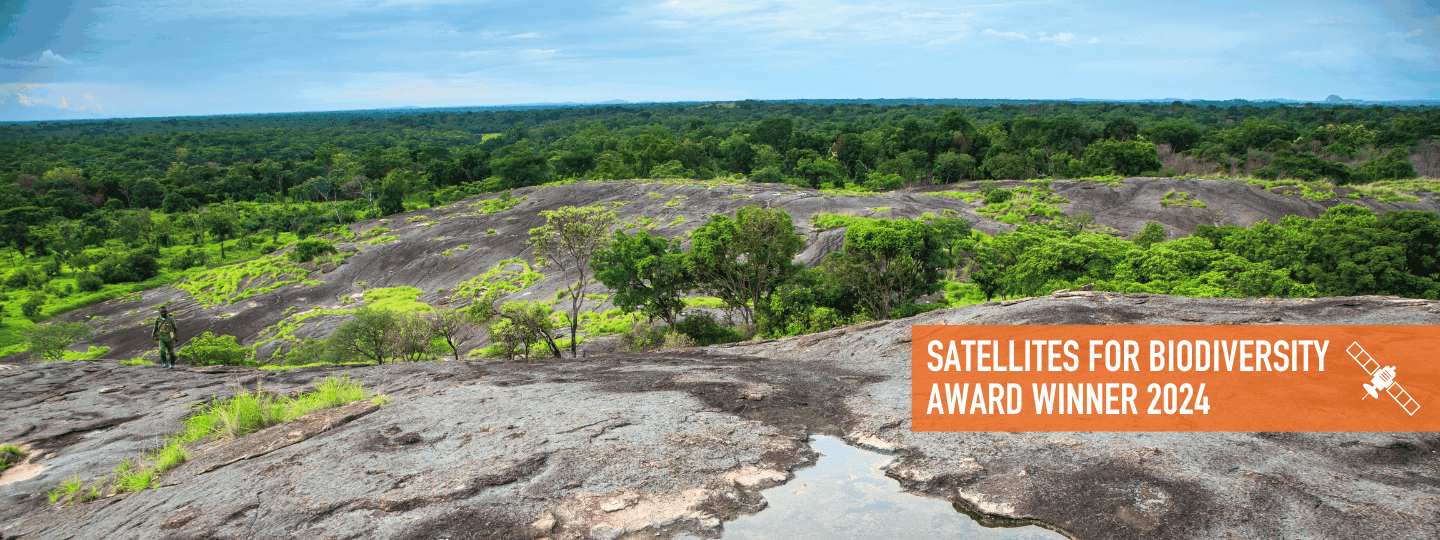
Protecting chimpanzees in South Sudan's untouched terrain - Fauna & Flora
The team is utilising satellite imagery to conduct thorough landscape-level assessments in South Sudan's Bangangai, Bire Kpatuo and Mbarizunga Game Reserves. These assessments aim to map land use and land cover, identify core forest patches, pinpoint deforestation drivers and map out connectivity pathways vital for the survival of endangered species such as chimpanzees, giant ground pangolins, and critically endangered African forest elephants. Through collaboration with local communities and government entities, Fauna & Flora aims to transform these protected areas into beacons of community-led environmental stewardship and socioeconomic empowerment.
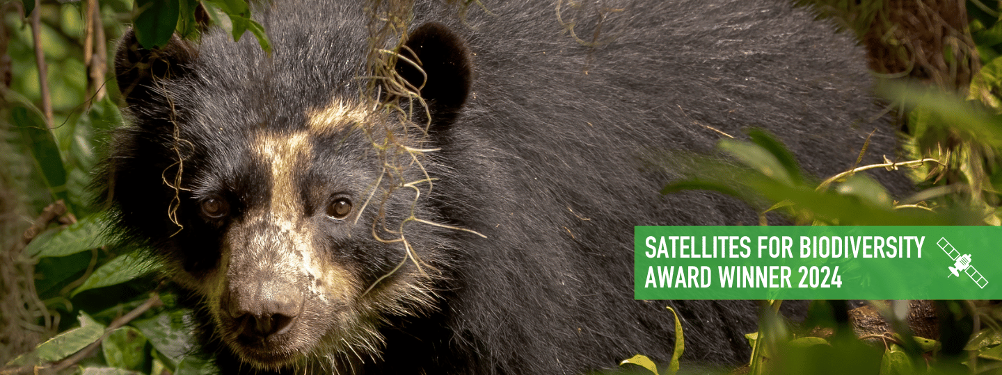
Coexisting with Andean Bears in the Heart of Peru - Conservacion Amazonica
This project is harnessing spatial data and community engagement to conserve the Andean Bear in Peru. The team plans to map intricate bear habitats, monitor movement patterns, understand human-wildlife conflict hotspots and develop conflict management strategies for informed community-led action ensuring the survival of this iconic species as well as puma and giant river otters.
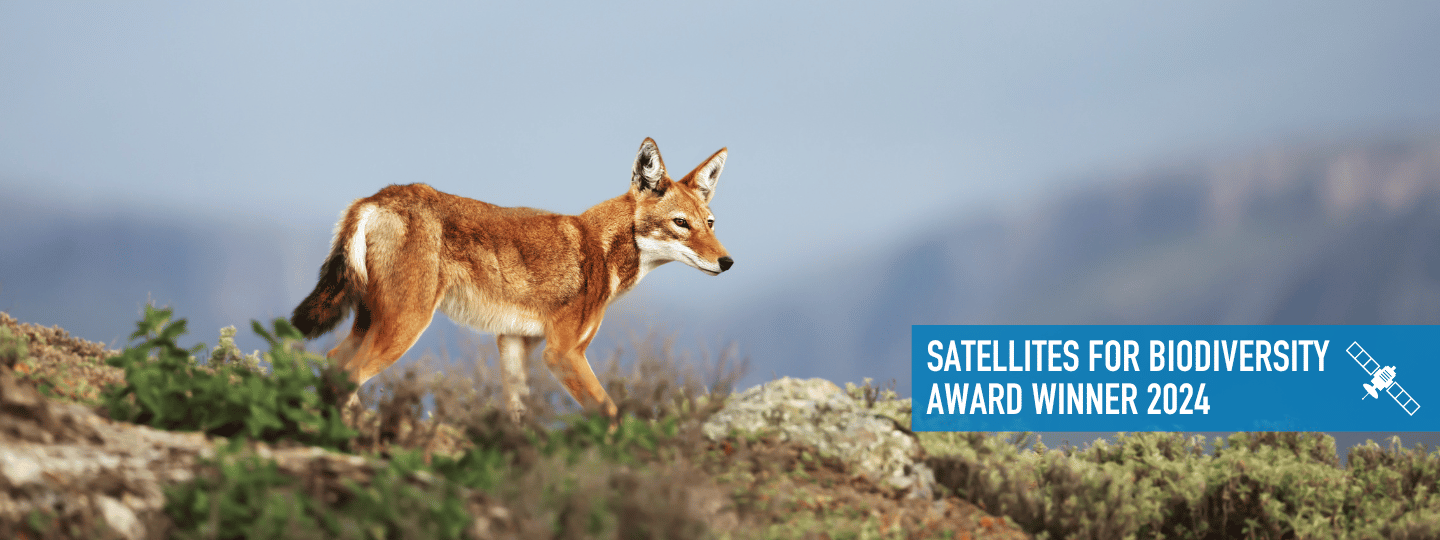
Conserving critically endangered Ethiopian wolves - Chulalongkorn University & Ethiopian Biodiversity Institute
This conservation initiative is centred on the Bale Mountains National Park, which harbours over half of the world's Ethiopian wolf population. With only 366 individuals remaining, the project aims to safeguard this critically endangered species and its habitat. The team will utilise satellite imagery and ground data to monitor wolf habitats to understand the complex relationship between habitat dynamics and human impacts from livestock and agriculture activities, to inform targeted conservation efforts.
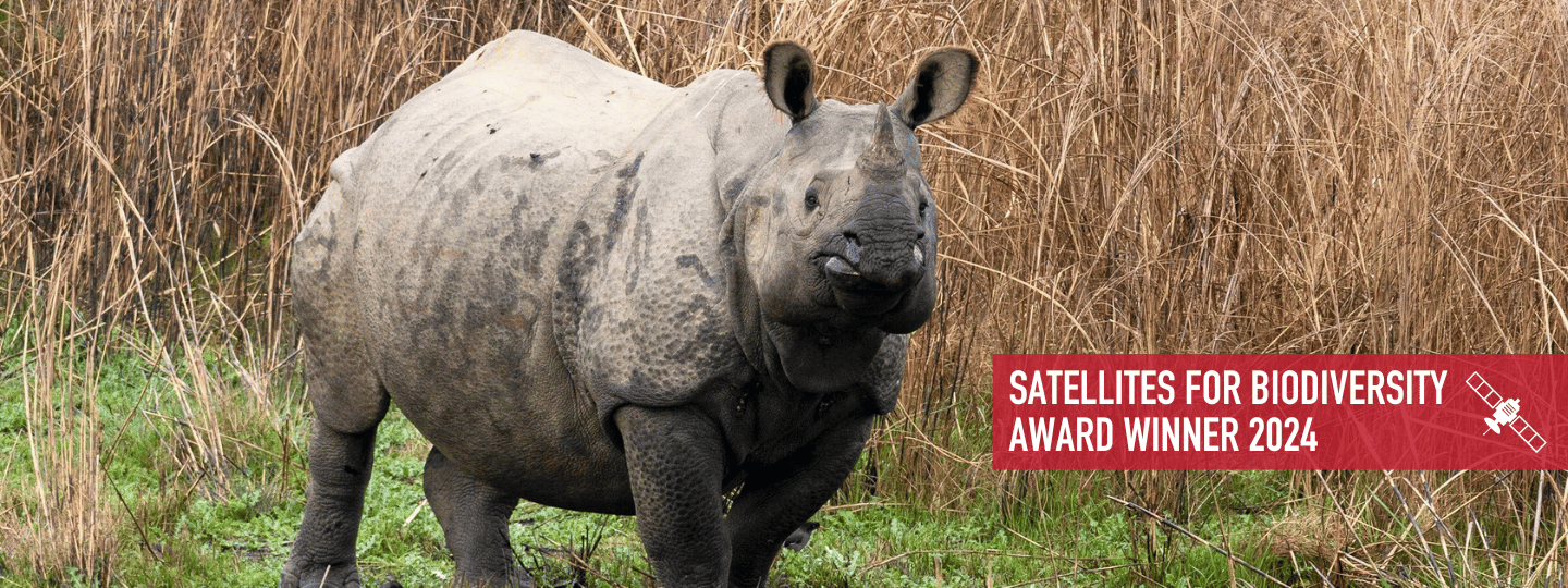
Sustaining suitable habitats for the greater one-horned rhino - Zoological Society of London (ZSL)
This pioneering initiative within Nepal's Chitwan-Parsa Complex will harness satellite data to refine grassland management strategies tailored to the conservation of the critically endangered greater one-horned rhinoceros. Chitwan is home to almost all of Nepal’s remaining rhinos (697 out of 752). By blending traditional wisdom with modern innovation and advocating for policy changes, ZSL aims to ensure every conservation dollar is maximised, safeguarding this invaluable ecosystem and its biodiversity.
“We are witnessing a remarkable expansion in the utilisation of satellite imagery within conservation. The integration of artificial intelligence has rapidly evolved into a standard analytical tool. By adopting a full ecosystem approach and empowering local partners through satellite data, training and technical support, we can achieve impactful conservation at a wide scale,” says Sophie Maxwell, Executive Director of Connected Conservation Foundation.
“The use of 50 cm and 30 cm satellite imagery offers unprecedented detail of ecosystem health, connectivity and the identification of harmful human activities. Through our award programme, we are excited to see grantees sharing methodologies and best practices in leveraging machine learning and satellite imagery for successful conservation applications.”
The number of applications more than doubled in Round 2, with participation from 37 countries, encompassing marine and terrestrial projects alike. Common themes among these applications included mapping invasive species, assessing the state of species populations and drivers of habitat loss, alongside monitoring ecosystem extent and connectivity.
“We have once again witnessed an impressive number and quality of project applications for our second award," explains Rachel Schroeder, Managing Director of the Airbus Foundation. "We are enthusiastic about our continuing work with CCF which extends our help to even more organisations engaged in critically important conservation work. The Satellites for Biodiversity Award represents a significant step in using satellite technology for environmental protection and conservation."